 Vrt
Vrt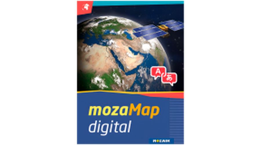

Prihranite pri nakupu tega izdelka z registracijo, saj vam na vaš račun vrnemo
1,19 €
dobroimetja.
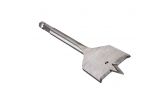
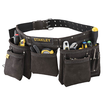
Ročno orodje
Kladiva
Sekire
Škarje za pločevino
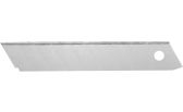
Žepni noži in rezila
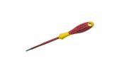
Izvijači
Delavski ključi
Klešče
Žepna večnamenska orodja
Zidarske lopatice
Zidarske žlice
Zidarske gladilke
Metri
Pile in dleta
Ročni rezkalniki in obliči
Primeži
Spone
Kotniki
Spenjalniki in sponke
Gorilniki in brenerji
Silikonske pištole
Strgala
Kompleti ročnega orodja
Drugo ročno orodje
Cena dostave:
- po predračunu: 3,99 €
- po povzetju: 5,99 €
- nad 70kg: 12,99 €
Možnost osebnega prevzema vsak delavnik med 8. in 16. uro po dogovoru na naslovu Stegne 31, 1000 Ljubljana.
Izdelka ne morete naročiti, ker ga nimamo zalogi.
Prosimo, pošljite nam povpraševanje. Hvala za razumevanje.
€ je izdelek drugje cenejši?
Oddajte povpraševanje za zadnjo ceno.


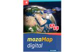
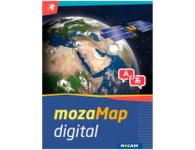
With 1 year license, you get 288 Multilingual Digital Maps for Interactive Boards or any Windows device

Now Geography and History teachers can plan and conduct classes more efficiently, by using or even customizing various types of maps and their visual elements. To enjoy the benefits of mozaMap atlases, keep in mind that you need to purchase the mozaBook software license first.
| Printed maps are no longer necessary. You can have more digital maps instead, store them in your device to save space and present them anywhere.
| Ability to highlight important details. MozaMap atlases include layers and teachers can easily switch them on/off or set to flash, adjusting them to the needs of each lesson.
| All map segments can be enlarged without losing their quality, as they are vector-based files, enabling dynamic scale adjustments to the current magnification in real time.
| Multilingual in a few clicks. Both labels and user interface (menu system, layer names, legends, etc.) can be switched to the language you prefer.
| Increased interaction and student engagement through illustrations and other digital features available in the software.


All texts included in the maps can be searched and found, while map layers can be turned on/off, one by one. In addition, educators can easily customize map views, adjusting them each time to the needs of their classroom for better results. For example, they can label and save the maps they created, including zoomed views, drawings, or even visible layers. Saved views can be inserted into mozaBook and opened during the lesson with a single click.
Use the individual map layers to add freehand lines, images, geographical and historical symbols from a large collection or even annotations. With the built-in drawing tool, you get multiple options for illustration, as well as the ability to adjust their size to the scale of the map, save or move them. Whatever you create can be later used in the classroom.


| Warranty Term (month) | 12 month(s) |
| Pack Length (mm) | 0 mm |
| Pack Width (mm) | 0 mm |
| Pack Height (mm) | 0 mm |
| Pack Weight Brutto (kg) | 0 kg |
| Pieces in pack | 1 |
| Box Weight Brutto (kg) | 0 kg |
Tega izdelka ni še nihče ocenil. Bodi prvi!
Za oddajo ocene moraš biti prijavljen v spletno trgovino.
 |
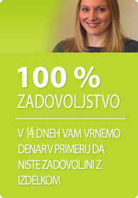
14-dnevno zagotovilo vračila denarja | |
 |
Priznane in uveljavljene blagovne znamke |
|
Vaša košarica je prazna. |


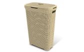
 42x47,5x100 Tkanina + kovina")